library(rgeos)

ls("package:rgeos") %>% .[grep("^g[A-Z]", .)]
##  [1] "gArea"                  "gBinarySTRtreeQuery"
##  [3] "gBoundary"              "gBuffer"
##  [5] "gCentroid"              "gContains"
##  [7] "gContainsProperly"      "gConvexHull"
##  [9] "gCoveredBy"             "gCovers"
## [11] "gCrosses"               "gDelaunayTriangulation"
## [13] "gDifference"            "gDisjoint"
## [15] "gDistance"              "gEnvelope"
## [17] "gEquals"                "gEqualsExact"
## [19] "gInterpolate"           "gIntersection"
## [21] "gIntersects"            "gIsEmpty"
## [23] "gIsRing"                "gIsSimple"
## [25] "gIsValid"               "gLength"
## [27] "gLineMerge"             "gNearestPoints"
## [29] "gNode"                  "gOverlaps"
## [31] "gPointOnSurface"        "gPolygonize"
## [33] "gProject"               "gRelate"
## [35] "gSimplify"              "gSymdifference"
## [37] "gTouches"               "gUnarySTRtreeQuery"
## [39] "gUnaryUnion"            "gUnion"
## [41] "gUnionCascaded"         "gWithin"
## [43] "gWithinDistance"
class(sp_quakes)
## [1] "SpatialPointsDataFrame"
## attr(,"package")
## [1] "sp"
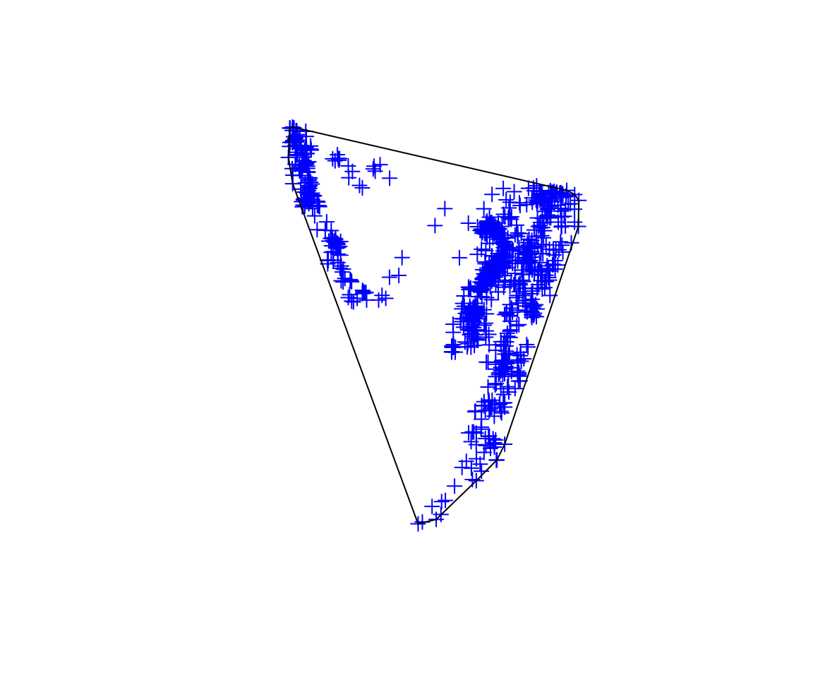
ch <- gConvexHull(sp_quakes)
class(ch)
## [1] "SpatialPolygons"
## attr(,"package")
## [1] "sp"
plot(sp_quakes, col = "blue")
plot(ch, add = TRUE)

africa <- readOGR("../FOSSGIS-workshop/data/africa.js")
## OGR data source with driver: GeoJSON
## Source: "../FOSSGIS-workshop/data/africa.js", layer: "OGRGeoJSON"
## with 54 features
## It has 65 fields
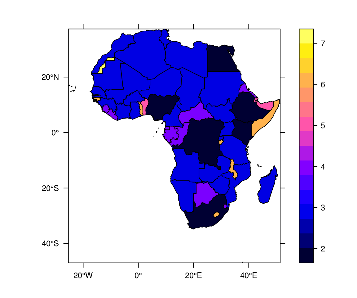
sp::spplot(africa, "LABELRANK", scales = list(draw = TRUE))

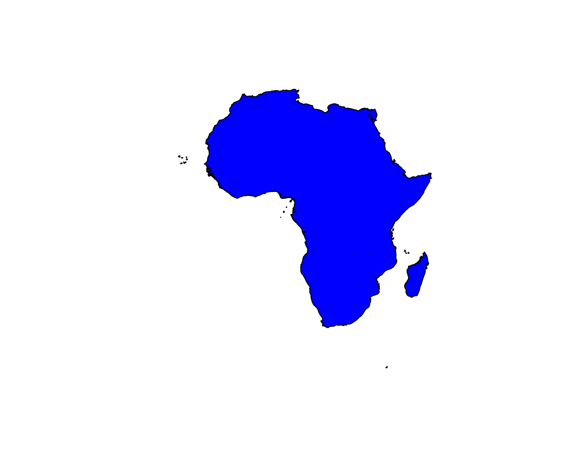
gUnionCascaded(africa) %>% plot(col = "blue")


